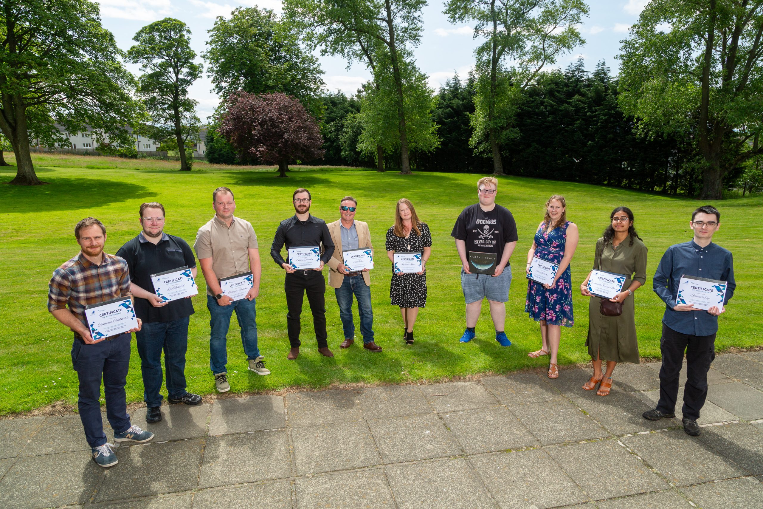
Menu Close

The Power of Location Data: Unlocking Scotland’s Potential

The Power of Location Data: Unlocking Scotland’s Potential

March 2024
Working together to foster innovation, develop talent, and drive economic growth.

Scotland boasts a vibrant geospatial sector.  Innovation is happening across the country, but benefits are not being fully realised.  The sector is siloed and faces a shortage of skilled workers. To harness the full potential of location data, we must work together to foster innovation, develop talent, and drive economic growth.

Unlocking the Value of Public Sector Data

The UK and Scottish Governments are committed to making public sector data more accessible (where licensing permits) , thus fostering innovation, and stimulating economic growth. Initiatives like CivTech® demonstrate the power of collaboration between the public, private, and third sectors. By sharing data and working together, we can develop innovative solutions to real-world problems.

Building a Thriving Geospatial Ecosystem

Location Data Scotland (LDS) is at the forefront of driving innovation and growth in Scotland’s geospatial sector. By fostering a thriving ecosystem of businesses, organisations, and individuals, LDS is helping to raise awareness of the benefits of location data, sustainability and investment with the aim of achieving economic growth for Scotland.  These companies are all included in the recently launched LDS Directory.

Collaborative Partnerships for Success

Collaborative procurement and project partnerships are essential for maximising the impact of location data. By sharing resources and expertise, we can reduce costs, improve efficiency, and accelerate innovation.  There are already several collective agreements in place for spatial data, including the Public Sector Geospatial Agreement (PSGA) which public sector organisations can access Ordnance Survey (OS) location data and services, Royal Mail Public Sector Licence and Aerial Photography Great Britain (APGB). Significant savings are being generated through adopting a collaborative approach to procuring national datasets with an estimated 20% saving.

Addressing the Skills Gap

As the demand for geospatial expertise grows, it is imperative to develop a skilled workforce. The Scottish Government and industry partners are investing in training programs and initiatives to equip individuals with the skills needed to succeed in the geospatial sector.  The Geospatial Foundation Skills Programme, which is being delivered by Fife College, is the first of these initiatives.  It is a 6-week course starting in Feb 2025 to provide an introductory foundation to a geospatial role. Places on this course are still available.  More information can be found on the Fife College website.

By embracing the power of location data, Scotland can position itself as a global leader in innovation, sustainability, and economic growth. By working together, we can unlock the full potential of this valuable resource and build a more prosperous future for all.  If you are looking for an innovative organisation working in the geospatial sector in Scotland, search the LDS Directory by type, capabilities or sector.

Pictures from the LDS Directory launch event at Geovation Scotland’s hub below ⬇️


Launching in November: New Geospatial Skills Programme to Boost Scotland’s Space and Geospatial Sector

Launching in November: New Geospatial Skills Programme to Boost Scotland’s Space and Geospatial Sector

March 2024
LDS is a key partner in developing this new geospatial skills programme.

Location Data Scotland (LDS) is a key partner in the Space Bridges Facilitating Future Space Careers training programme, which includes the highly anticipated Geospatial Foundational Skills Programme, set to launch in November, funded by the UK Space Agency.

The Geospatial Foundational Skills Programme, delivered by Fife College, will be the first of its kind in colleges in the UK.  The aim is to provide foundation skills in understanding geospatial systems and their application in a range of industries.  Students who complete the course will have skills suitable for entry level positions within the geospatial and space sector, brining fresh talent to this fast-growing field.

The programme consists of six learning modules with a focus on the workplace experience:

  • Introduction to Geospatial Systems, Data types, Monitoring, Cartography and Data Visualisation
  • Introduction to GIS, Geospatial Data and Disciplines
  •  Remote Sensing, Earth Observation (EO) & Satellite Observation Technology
  • Completing a Geospatial Project – planning, execution and reporting
  • Multi Sector Geo-Applications by Industry Sector; their Management & Impact
  • Industry Applications, Soft Skills and Employability in the Space and Geospatial Industry.

Head of Geospatial at Scottish Government Alan Corbett said, “This funding has been instrumental in helping shape and deliver this ambitious skills programme.  The space sector is worth £18.9bn* to the UK economy and employs over 52,000 people, with Scotland a leading employer in the sector.  We need to ensure we are attracting and retaining good talent to be able to encourage more inward investment into Scotland and encourage more Scottish businesses to capitalise on opportunities as the space sector grows.”

LDS with its strong industry and public sector network, will help to secure projects and placements for participants, ensuring hands-on experience and smoother entry into industry.

To find out more about the programme visit:

https://www.fife.ac.uk/courses/subject-areas/space-industry-courses/?tagged=7137_7099&hideAlpha=true

If you have a project or a placement that might be suitable for this programme, please complete your details here and one of our team will be in touch with further details.


*Size and Health of the UK Space Industry 2023

From Space to Climate Change geospatial data enables to see the see the world in a different way

From Space to Climate Change geospatial data enables to see the see the world in a different way

March 2024
Geospatial data is essential across many sectors from whale watching to local neighbourhoods.

Geospatial is an important element of any location.  It involves the collection, analysis, and interpretation of data linked to a geographic location such as

  • Maps and charts
  • Satellite imagery
  • GPS data
  • GIS data


At the event, Geospatial Insights 2024; Innovations and Applications across Sectors held in the Edinburgh Climate Change Institute on Tuesday 27th August, hosted by Location Data Scotland in partnership with AGI Scotland, we heard from a wide range of speakers from various organisations about how geospatial data and technologies are being used in their organisations to deliver products and services.

Technology is evolving further and with applications such as AI and Machine Learning we can analyse locations even further.   Scotland’s strong research base, government support, industry partnerships, and expertise in geospatial technology have made it a thriving hub for satellite and space activities.

Alan Moore from Idox said, “Geospatial data is now being discussed in the Boardroom.  This emphasises the importance of this data source in supporting decision making and helps organisations regulate and monitor their environmental impact”.

The speakers explored the importance of geospatial data across a range of sectors from land management systems through to road safety, whale watching, climate change and local neighbourhoods.

This event was delivered as part of the Data Lab Community’s Geospatial Fringe series.

Steven Thomson, Events and Community Manager at the Data Lab said, “It has been fantastic to see the range and breadth of work going in Scotland and beyond within geospatial. Throughout the last month we’ve heard from organisations working to improve road safety, right through to environmentalism and climate change. The potential for geospatial data to improve where we live, and work is immense and is only going to get more exciting.”

Slides and case examples from the presentations can be viewed below

Make sure your organisation benefits from being part of the geospatial community in Scotland by joining our Directory.  Sign up here.


Geospatial Skills Industry Day

Geospatial Skills Industry Day

March 2024
Industry day to update the Scottish geospatial skills roadmap and share ambitions for developing the skills agenda.

We are inviting organisations across different industries in Scotland to an event in the Scottish Government’s offices in Leith on Thursday 2nd May from 09.30 – 13.30.   Join us and other key individuals from industry and academia to hear about the progress of the Scottish geospatial skills roadmap and our ambitions for developing the skills agenda. The event will also be an opportunity to discuss specific skills that are needed by industry that will help shape and inform the future development of curriculum content with a view to increasing the number of pathways into the Geospatial Sector, and also the talent pool.

Head of Geospatial at the Scottish Government, Alan Corbett said, “It is essential to have constructive engagement with industry to jointly decide how we can create more highly skill jobs and retain existing skill staff in the forward-thinking businesses across Scotland.  As a leader in geospatial, Scotland is at the forefront in the advancement of geospatial technologies.  To retain this position, we need to ensure we have the talent and skills to fulfil different types of geospatial roles to meet emerging global industry demands.  Geospatial is a core element of Scottish Government’s Digital Strategy and as such we are committed to making Scottish talent more attractive to the global Geospatial market.  Our aim is to attract new inward investment into the country and boost economic growth through the creation of more highly skilled jobs.”

Geomatics Manager at Shell, Rob Dunfey said, “I am very supportive of initiatives to build geospatial skills. Obviously, there is value for employers such as Shell in being able to recruit geospatial professionals, but more importantly for broader society and the economy. I truly believe that geospatial skills are going to underpin our energy transition to net zero.”

We are limited to 50 places at this event but if you are passionate about having your say, register to attend here.  A waiting list is in place, so we will advise as soon as places become available.


Business Insider interview with Ashley Stewart

Business Insider interview with Ashley Stewart

March 2024
Location data is creating new jobs, new products and vital public services for Scotland

In an article published in Business Insider on 1 March 2024, Ashely Stewart shares her key highlights from LDS from the start of the pilot.
LDS has championed the application of geospatial data in several key traditional sectors over the last three years, including financial services, agriculture, space, construction, travel, tourism and energy, as well as emerging sectors in telecommunications.

Our goal was to show how geospatial technologies could drive innovation and create new products and services for a range of sectors. There have been some shining examples of this from the LDS community in Scotland.

Data and AI experts Eolas Insight are transforming how geospatial data is utilised in the environmental and ecological sectors to improve nature in light of the climate crisis. They are now working with the agricultural sector to combine the power of automation and analysing large scale data from space to help farmers, ecologists and land managers save time and money, while getting more vital groundwork done.

Edinburgh-based Topolytics, who use mapping and machine learning to generate data to track waste, is working with government teams to meet their recycling requirements and support the drive for a circular economy.

Location data is also instrumental in helping deliver new services throughout Scotland

Photo of vaccine by Mika Baumeister--
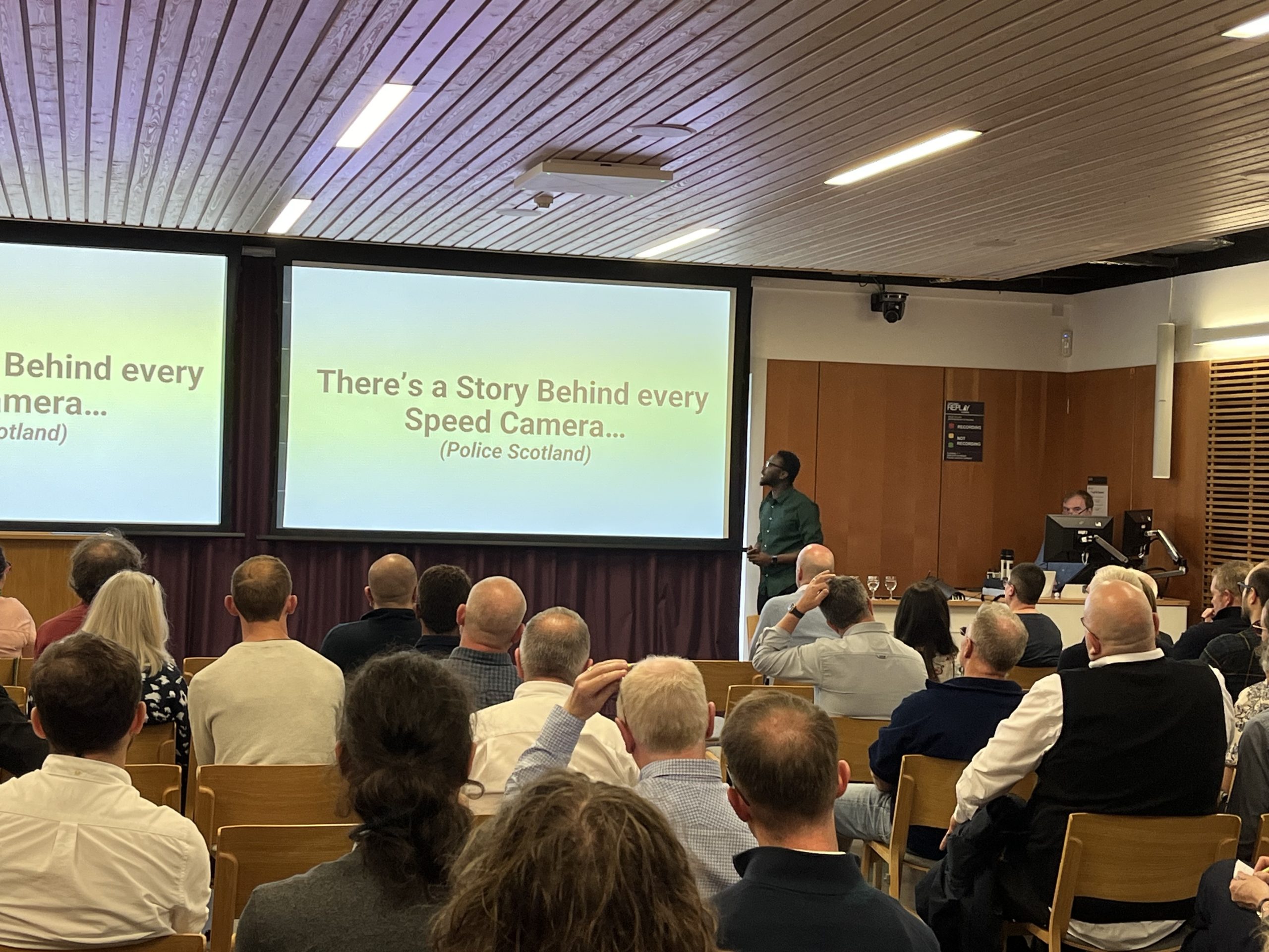
There have been giant leaps in how the emergency services sector in Scotland is using geospatial data to drive efficiencies and provide the public and business with access to key public services. Scotland has one of the most successful Covid vaccine rollout programmes and location data was at the core of how the health service delivered this highly efficient programme.

By sharing data from local authorities, the Public Sector Geospatial Agreement (PSGA), which is a contract between Ordnance Survey and the Geospatial Commission, is delivering business critical services such as roads and infrastructure, utilities, environmental services and healthcare through location datasets.

Geospatial is an exciting area and Scotland is playing a very important part in driving innovation, key services, and a robust talent pipeline. Scottish Government believe geospatial technologies and location data has the potential to save time, money and lives.

Read the full story

Private and Public sector unite to unlock the Power of Location Data

Private and Public sector unite to unlock the Power of Location Data

April 2023
March Webinar Update

In our March webinar we heard from Simon Roberts, Data and Engagement Manager at the Improvement Service and Arun Gopinath, CEO of Vahanomy talking about their partnership formulated through an introduction by Location Data Scotland and where they saw ‘The Power of Location Data’.

The Improvement Service is owned by the 32 Scottish Local Authorities, COSLA and SOLACE and one of their focuses is to create a more consistent and comprehensive evidence base for decision making by enabling better access and usability of local government data.

The Spatial Hub is the Improvement Service’s flexible and scalable, online platform that provides standardised access to Scottish local authority data. A key objective of the platform is to stimulate innovation and improve productivity for organisations across Scotland. The platform addresses the challenges that organisations face around accessing public sector data.

Local government data custodians are invited to provide data sets to the Spatial Hub, which are then transformed and published into more harmonised national datasets which can be accessed by any authorised organisation or user. Organisations such as EDINA at the University of Edinburgh are sharing the Spatial Hub data via their DigiMap service with most academic and research institutions across the UK.

The Improvement Service has been working with Vahanomy Limited, an Edinburgh based start-up developing innovative artificial intelligence data driven B2B solutions to enable the accelerated rollout of electric vehicles (EV) charging infrastructure globally. Through an exploratory licence for the Spatial Hub, Vahanomy can access local authority data sets that have been critical to the development and testing of their innovative technology.

Arun said:

When we started out, we encountered lots of challenges accessing data around where electric charging points could be located including:

  • sourcing accurate, current, standardised, easy to handle and affordable data,
  • developing predictive models to use this data to pinpoint the electric charging points.

Through Location Data Scotland (LDS) we have been introduced to a number of key data suppliers like the Improvement Service, which has been important for us to access quality data. We also were able to connect with Ordnance Survey, Scottish Government, Registers of Scotland and the Geospatial Commission. As a start-up with limited resources, it is difficult to connect with the right contacts. Ashley at Location Data Scotland has a fantastic network of connections and she easily started opening doors for us to the right people across the location data domain.

The Spatial Hub has provided Vahanomy with access to 40 spatial datasets through their exploratory licence.

Simon Roberts commented:

The Spatial Hub could become a sort of ‘one-stop shop’ for Scotland’s local government and public sector spatial data if this was deemed necessary and we are working with other parts of Government such as health organisations and SEPA to evolve the data sets we currently support. Companies who are interested in accessing or supplying this data should get in touch with us via our website.

A list of available data sets from across the UK can be found here.

Available Data Sources

Public/Private Sector Disconnect

There is a massive question around how we bring together the public and private sectors to unlock the data being generated across the public sector? Lots of best practice is already being created in the private sector as organisations find solutions to similar data challenges. To address the issue and find solutions, first we need to understand the challenges. And bring together suppliers to share their insights and knowledge to try and solve the challenges.

Project Manager for Location Data Scotland Ashley Stewart said:

Our role in Location Data Scotland is to bring together an inclusive community of entrepreneurs, industry, third sector, academia, and public sector to collaborate, drive innovation, create opportunities and efficiencies and unlock the value in location data across multiple industries and sectors. We have a key role to play in helping address the public/private sector disconnect and our strong community of members could be the conduit to unearthing both public and private sector challenges and finding solutions.

The Power of Location Data

The Power of Location Data

March 2023
Location Data is integral to the technological advancements of many industries.

Location technologies (both indoor and out) are spurring the evolution of rapid digital transformation and innovative new solutions across almost every part of daily life.

These systems rely on three main location data sources:

  1. Geographic information systems (GIS) which use a variety of types of location-based data to build 3D visualizations and maps
  2. Indoor positioning systems (IPS) that find and track people or things indoors using a range of different technologies
  3. Internet of Things (IoT) devices (like beacons, sensors, etc.), which provide data to inform GIS and IPS systems

Location Data Scotland’s webinar, The Power of Location Data on Tuesday 30th March, will provide a case study of Scottish technology company Vahanomy Ltd discussing the importance of accessing rich data for their technology and the partnership they have formed with the Improvement Service to access datasets via their Spatial Hub.

Register below for this event to uncover a rich library of data sources and form partnerships with key data providers generating data and others looking to source data.

With the global geospatial market forecasted to be $681 billion in 2025 according to Geobuiz, we have seen data become exponentially richer over the last 5-10 years. The market is estimated to grow at a much faster rate post-2025, making it $1.44 trillion by 2030; this is largely being driven by strategic public policy reforms, increased government investment, the increased role of national geospatial agencies as well as industry acceleration strategies and innovation in the digital twin and metaverse paradigm.*

*Source: Location Data Scotland Market Intelligence Report

EVENT DETAILS

Everything you need to know about Innovation, Collaboration and Funding

Everything you need to know about Innovation, Collaboration and Funding

September 2022
Innovation is the process of taking new ideas and research to market. It drives productivity, exports and economic growth and helps solve societal challenges.

In our recent webinar Innovate UK, Scottish Enterprise and ESA (European Space Agency) joined Location Data Scotland to explore opportunities around innovation, collaboration and funding.

Innovate UK funding and support

Innovate UK is the UK’s innovation agency, enabling business led and collaborative innovation in all sectors, technologies and UK geographic regions. The Innovate UK group offers a range of specialist support for innovative businesses:

Innovate UK Innovate UK KTN Innovate UK Edge Catapults
Funding and support for innovation projects Connections to new partners and opportunities Support for growing innovative businesses Specialist facilities and experts in technology areas

Carol Sunderland who works in the Artificial Intelligence and Data Economy (AIDE) Team discussed how Innovate UK has supported a range of geospatial innovation projects – both from a geospatial data generation and application perspective in a number of different sectors including agriculture, maritime, port logistics, construction, infrastructure and rail, by way of example. It was further explained that geospatial funding opportunities also lie in some cross-sector and international programmes.

ESA Funding and Support

We also heard from Ken Gordon, the UK business ambassador at ESA Space Solutions who are the largest space innovation network in the world. ESA support start-ups and SMEs to grow their business through zero equity funding, technology and commercial guidance, support from a personalised consultant and access to a network of partners. Companies can apply for ESA funding (open calls or kickstart activities) as long as they use one space asset – for example, earth observation, space weather, satellite navigation, satellite communication or human spaceflight technology.

Scottish Enterprise Funding and Support

Tracey Ward introduced the innovation, collaboration and funding team at Scottish Enterprise. Scottish Enterprise help ambitious companies who are seeking innovation funding from a variety of sources. Scottish Enterprise work typically, but not exclusively, with SMEs (10-250 employees) who are:

  • Market-orientated innovation and/or R&D projects
  • Can evidence a market (have customers who are willing to pay)
  • Are confident that they will be able to match-fund at least 30% of the project costs
  • Are willing to share their results


  • Our webinar speakers shared their top tips for preparing and submitting a funding application:

    1. Ensure there is a fit with the funding call in question (including the technology readiness level (TRL), does your organisation fit the criteria, does your idea match the themes of the funding?).
    2. Ensure your innovation is central to your application.
    3. Solve a problem worth solving and make sure you include external validation of the problem.
    4. Ensure you answer the IP (intellectual property) question fully.
    5. Convey the business case within your application and demonstrate your market knowledge and the opportunity. Clearly articulate your specific knowledge of the market you are addressing your proposition and where you are positioned within the value chain.
    6. For ESA applications understand how you will use the space assets you will be using.
    7. Don’t generalise; ie don’t say ‘we are the only people doing this’ unless you can prove it! Demonstrate where you fit against the competition.
    8. If your project requires partners, find your partners as early as possible. Seek support from the networks – Location Data Scotland, Innovate UK KTN and Scottish Enterprise. Individuals such as Luca Bodello from Innovate UK KTN can help provide geospatial connections.
    9. Demonstrate your knowledge of the market opportunity. For ESA applications this needs to be from a UK/European perspective.
    10. Don’t underestimate the time needed to complete an application. Ensure you submit it in plenty of time – on some platforms you can add draft versions of documents – upload as you go along so you have evidence if problems arise. Draft – Review – Redraft – Proof Read – Check – Submit
    11. As Innovate UK is awarded via a competition model, look out for relevant competitions and answer the questions clearly.
    12. Ensure you have the capacity to deliver the project.
    13. Co-funding can NOT be other sources of public money.


    If you missed our webinar, or just want to refresh your memory, links to the event recording and resources are available below.

    Location Data Scotland can help your business access the right funding sources and support to help grow your business. If you wish to access this support, or the support discussed during the webinar, use the links below.

    So, what do we really mean by Innovation in Geospatial?

    Panel at What is Innovation in Geospatial with Geospatial Commission, Electrek Explorer, Registers of Scotland, Eolas Insight, Geovation Scotland and Location Data Scotland
    Panel at What is Innovation in Geospatial with Geospatial Commission, Electrek Explorer, Registers of Scotland, Eolas Insight, Geovation Scotland and Location Data Scotland
    Panel at What is Innovation in Geospatial

    So, what do we really mean by Innovation in Geospatial?

    September 2022
    Collaboration in Key!

    30 August 2022 saw Location Data Scotland and Geovation Scotland join forces to run an event at the Registers of Scotland’s building in Edinburgh to explore the topic of innovation in geospatial with industry, public sector and academia.

    A range of speakers and panellists from the Geospatial Commission, Registers of Scotland and industry joined Ashley Stewart, lead for Location Data Scotland and Lyndsey Dougan head of Geovation Scotland, to explore what we really mean by innovation in geospatial.

    Innovation is Problem x Execution = Solution

    Lyndsey explained that Geovation Scotland deliver a hugely successful accelerator programme targeting companies in Scotland working in the geospatial sector and they feel collaboration is the number one ingredient to make innovation happen. It’s not just about having an idea or creating new technology – it’s about creating value and having the support infrastructure in place to make it happen!

    We also heard from Douglas McNeil from SME Eolas Insight who have an innovative solution tackling the impact on the environmental sector using location data. Doug said “In our experience, we can see there is lots of geospatial technology impacting the environmental sector and these technologies are making service development easier, enabling SMEs to punch above their weight. These technologies can help inform us to support our efforts towards biodiversity net gain and help us on our journey towards net zero.”

    Tourism business Electrek Explorer introduced their innovative app which supports the green traveller to find new experiences when they are out and about, providing information about e-bike and EV routes, charging points, nature sites, EV accommodation, bike friendly accommodation, electric bike charging cafes, local businesses and activity providers.Eilidh Smyth from Electrek Explorer said, “Innovation is nothing without the support of the wider ecosystem. We had fantastic support from Location Data Scotland and Geovation Scotland to help raise our profile, challenge our business model and make cross-sector collaborations which has really helped us scale and grow.”

    In terms of innovation, areas such as climate change and sustainability, transport, utilities and insurance are evolving, however sectors such as the emergency services are way behind! The key challenge in driving innovation is scalability. There are lots of great things happening across Scotland but questions remain around how we as a nation can help develop new skills and technologies and commercialise these, to drive more innovation. We also need to consider data democratisation – how do we get the right data to the right people in the right way at the right time? And what about data standards – are they interoperable, are they based on fair principles? Now is the time to create national standards that tie it all together.

    Scotland has an amazing opportunity to drive innovation. We are a small nation with lots of opportunity to scale. Scotland is the perfect location for a test bed as we have scalable datasets and can lead by example. But we need to work together rather than working in silos!

    As a starting point, we encourage you to join Location Data Scotland’s community to help you find collaboration partners and stop trying to figure this out on your own!

    Relevant Funding, Events and Reports referred to during the event:

    Location Data Scotland : Innovation and Collaboration Webinar – 28th September 2022

    SAVE THE DATE: Geovation Showcase 20th October

    Geovation Scotland Accelerator Open Call

    Applying Space Data to the Net Zero Economy

    Agri Challenge – Can your organisation help to accurately measure biomass and natural capital using space data?

    Other Funding Opportunities

    Geospatial Commission Annual Plan 2022/2023

    Building public confidence in location data: The ABC of ethical use