Upcoming Innovation Challenge – Collaboration Opportunity
Scottish Enterprise in partnership with Scottish Government and the Data Lab will shortly be launching a national, Scotland CAN DO innovation challenge call, which is open the any eligible organisation in Scotland. This grant funding for Scottish businesses is to facilitate the development of innovative solutions, using space data, that will support the transition to Net Zero. This Scotland CAN DO funding call offers 100% of eligible project costs. It will allow companies to assess the technical and commercial feasibility of their proposed solution over a period of 3 to 5 months, with projects completing by the nd of March 2023. A minimum of £20,000 and a maximum of £30,000 grant funding is available.
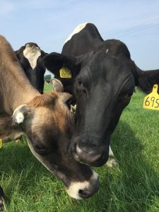
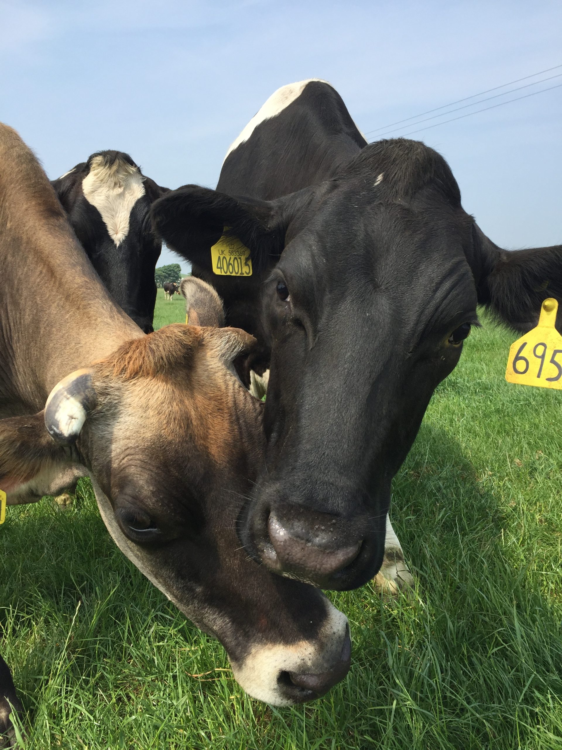
Further information will be shared when the call officially launches on 22nd August, but this is advance warning of the upcoming opportunity and also an invitation for Earth Observation companies to collaborate with a cooperative of farmers to develop solutions to solve their biomass and natural capital measurement challenge which could, potentially, be scaled across the agricultural sector.
Download further information on the agricultural challenge below.
If you are interested in this opportunity and would like to be introduced to the challenge holder, please contact us.
Edinburgh based GSI are soaring!
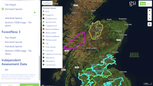
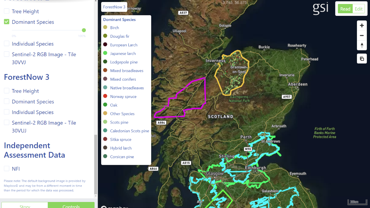
Global Surface Intelligence (GSI) are an Edinburgh based geospatial SME using satellite imagery in combination with other data layers, for example mapping tools, GIS, Light Detection and Ranging (LiDAR) and ground reference data, to survey forests at large scale with high levels of accuracy to deliver analysis-ready data for commercial customers in the industry supply chain. Most of their customers are based in the USA, but more recently they have been focusing on opportunities within the UK.
Location Data Scotland invited GSI to present their innovative technology at a meeting in Edinburgh in November 2021 where they met some of the commissioners from the Geospatial Commission. The commissioners were blown away by GSI’s technology and as a result included them in their 2022/23 Annual Plan as an example of sustainable management of natural resources using innovative geospatial solutions. The report highlighted a project GSI delivered with Ecometrica through ESA (European Space Agency) as part of the Scottish Earth Observation Service (SEOS) consortium. The project was to deliver a Vegetation Condition, Scotland (VCS) mapping and monitoring service to address environment and land-management issues to save time and money.
GSI provided accurate forestry surveys from which potential investors could build a valuation for specific areas of interest across Scotland. There was a high degree of innovation in combining satellite and LiDAR data to achieve the desired levels of accuracy. Maps were produced for five areas to demonstrate the key attributes of tree species and tree heights which are the essential components for the valuation models. The SEOS service was publicly launched on 4 May 2022 and reports are now available as well as bespoke surveys.
More recently GSI has been working with the Satellite Catapult through another ESA project to map forestation in places such as Brazil and Guatemala to identify that the land used to grow crops to make products such as coffee was sustainably sourced, and no illegal deforestation occurred. This is essential information for supermarkets to ensure that the products they sell are sustainably sourced.
Peter Young, CEO of GSI said:
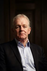 “We are really lucky to be working on such fascinating projects that are making huge impacts on sustainability. Having partners such as the European Space Agency, Location Data Scotland and the Geospatial Commission opens up a wealth of opportunities for SMEs in Scotland. Ashley at LDS has been a great advocate of our technology and ensures she links us with key opportunities where possible.”
LDS opening the right doors for B2B solutions provider Vahanomy
 Tech entrepreneur Arun Gopinath has a vision of the future with a fully joined up inclusive ecosystem for autonomous vehicles and services and is positioning his company Vahanomy at the heart of that ecosystem.
The global EV charging public infrastructure market is forecast to be US$60 billion by 2030, with location analysis and site selection estimated at 8% of the cost (US$4.8 billion). Early this year the UK government announced that they were allocating £450m to create 300,000 public charging stations, a huge opportunity for Vahanomy. Arun comments:
“We don’t know exactly what the autonomous vehicle landscape will look like in the future but what we do know is that it will be powered by electric vehicles in the foreseeable future. There is currently a huge opportunity in Scotland and the rest of the UK to lay the foundations for our future vision and we see a massive opportunity to introduce our services to the rest of the world.”
Vahanomy is an Edinburgh based start-up developing innovative artificial intelligence data drivenB2B solutions to enable the accelerated rollout of electric vehicles (EV) charging infrastructure globally.
The company’s first two products include an AI-powered location data intelligence tool that will assess and analyse proposed EV charging locations and the portal; a B2B and B2C marketplace listing potential charging sites and services and facilitate the trading of EV charging sites and trading capacity and provide analytics of demand and supply of services in the EV charging ecosystem.

As a business, Vahanomy has a strong ethical stance that they will create solutions for everyone that will reduce our carbon footprint and make transport much more mobile and accessible.Arun and his fellow directors originate from outside Scotland and were challenged when starting to build their network of connections in Scotland. Arun commented:
“There is a fantastic support network across Scotland from Scottish Enterprise, to the University infrastructure, with lots of different touch points to find partners, investors, customers, and staff. Unfortunately, if you are not originally from Scotland and not part of a university network it is difficult to know how to start navigating this landscape. Vahanomy was accepted onto the TravelTech for Scotland programme which then exposed them to Location Data Scotland and the EIE (Engage, Invest, Exploit) programme through the University of Edinburgh. Each of these connections have provided lots of different opportunities and validation.”
Vahanomy identified several key stakeholders that they wanted to engage with through Location Data Scotland to help them quantify their idea, test their technology and source data sets including Registers of Scotland, the Improvement Service, Geospatial Commission and Ordnance Survey. Arun commented:
“We realised early on that these stakeholders were going to be instrumental in helping ussource the data we needed to deliver our services and evolve our ecosystem. Ashley at Location Data Scotland has a fantastic network of connections and she easily started opening doors for us to the right people across the location data domain. We’ve had initial meetings with these individuals, and they have started to share information and open doors that have been instrumental for the next stages in our business growth.”
To find out more about Vahanomy visit www.vahanomy.com

Geospatial Skills Survey
Geospatial is flourishing with growing interest across a range of sectors and government. But can we meet the future UK demand for skilled professionals?
Anecdotal evidence indicates that there are skills and recruitment challenges within the sector, however further analysis is necessary to uncover where the gaps lie and how the sector can meet the future UK demand for skilled professionals.
 Location Data Scotland are working with the University of Edinburgh and AGI Scotland to undertake research with our individual networks across the geospatial landscape to be able to assess this further.
 If you are working across industry, academia, public sector or third sector and have an opinion on this area, we would invite you to complete the survey here.
A round-table workshop involving partners, enablers, providers, potential employers will be held later this year to begin collectively addressing the challenges. The outcomes of the round-table discussions will be fed back to key stakeholders including organisations such as Skills Development Scotland to help shape the skills agenda.
Bruce Gittings, Senior Lecturer in Geographical Information at University of Edinburgh, said:
“This survey represents an important step in a partnership between LDS and AGI Scotland to galvanise action on geospatial training and skills. We are looking to understand the needs and opportunities for a new and diverse group of people to work in our industry and help build Scotland as an international hub for geospatial talent and business.”
Geospatial solutions to solve ecological and environmental problems
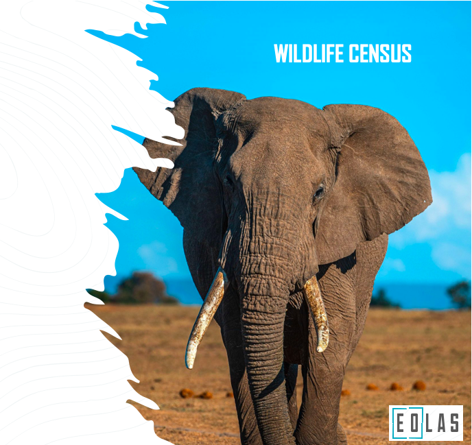
Eolas Insight provide technical solutions focused on the ecological and environmental sectors in an easy, user friendly way.
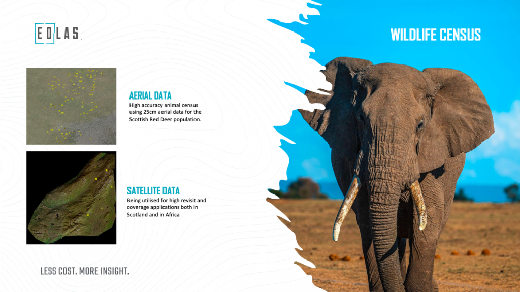
They detect and provide counts for animals using satellite and aerial imagery combined with artificial intelligence. They have successfully delivered a project in Scotland tracking red deer and are now working in Mozambique looking at large animals – giraffes and elephants.
As part of the Geovation accelerator programme the team at Eolas Insight has been developing a business and financial case for a truly innovative geospatial portal that will allow environmentalists and ecologists to access the technologies for themselves to carry out the analysis.

In his interview founder of Eolas Insight Doug McNeil said, “The Geovation Accelerator programme allowed us to focus on the portal proof of concept. This was a critical step to format the business case prior to developing the prototype. I really enjoyed the personal approach from the team at Geovation as they didn’t just provide information; they took the time to work out how this information could be embedded into our business.”
Eolas Insight were also supported by Location Data Scotland, who were instrumental in helping them network into other industries and opened doors to potential collaborators in the agricultural sector. Doug said, “Talking, collaborating and networking is key for any organisation working in the geospatial sector to not just open doors but to test your ideas and assess the next steps for your business. It can really make a huge difference.”

