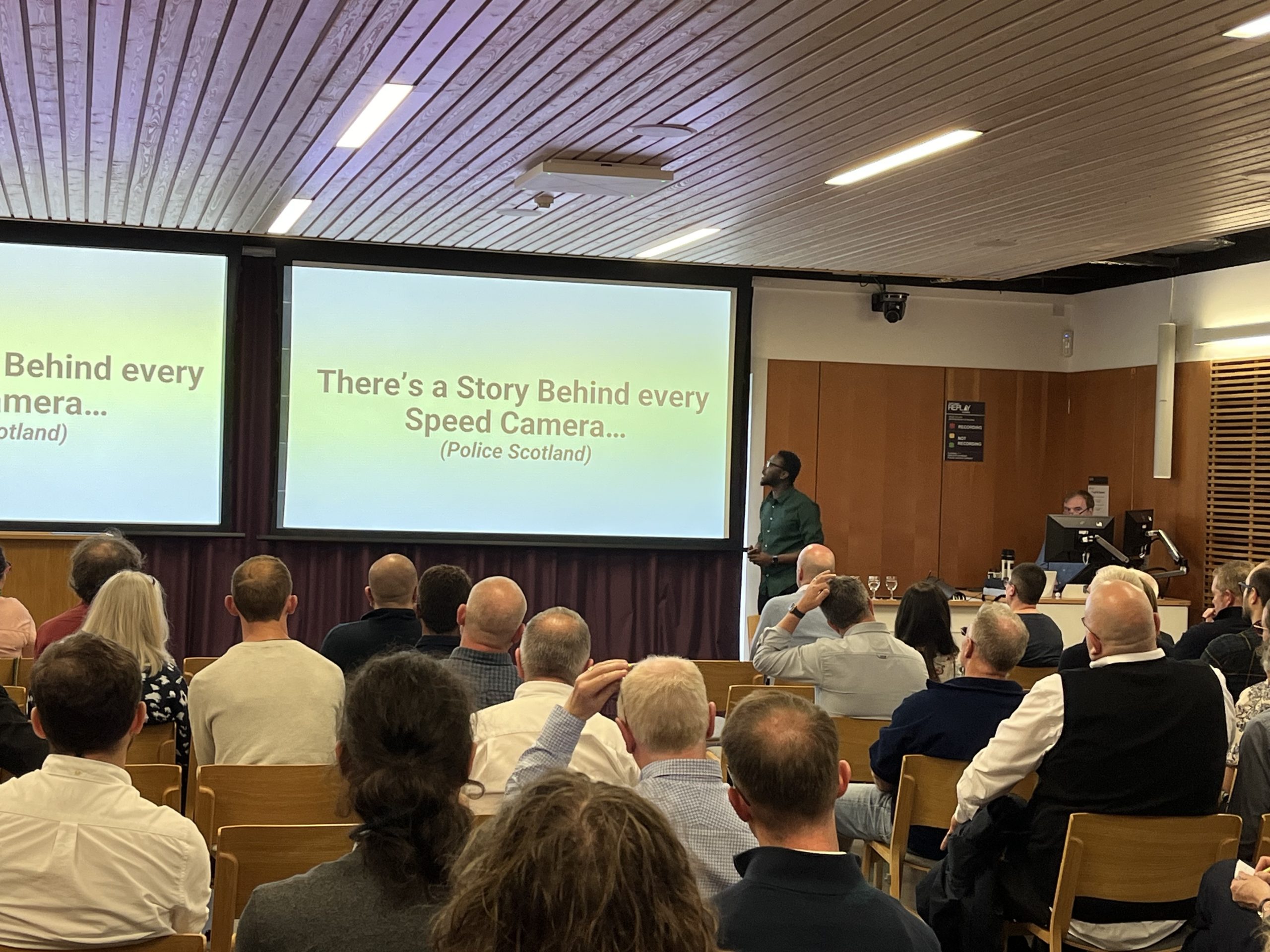
Mapping a New Future: From Fife College Graduate to Geospatial Data Engineer
When Lisa Jackson walked into her new role as a Data Engineer with Idox Geospatial, it marked the culmination of an inspiring journey that combined heritage, education, and a leap of faith into an entirely new field.
Lisa, who lives in Fife and describes herself as a mature student in her mid-30s, spent more than a decade at Historic Scotland before making the switch. “I’d been there about 11 years, doing all sorts of different jobs,” she explains. “My first three roles involved GIS, though at the time I didn’t realise it was a career path in itself. I just knew I loved maps and data.”
Her early GIS work included logging planning applications, drawing polygons for casework officers, and helping run the dual designations project, which identified sites that were both listed buildings and scheduled monuments. That project sparked her curiosity about the analytical power of GIS: “It showed me how data could really help make smart decisions and improve processes.”
But despite her passion, career progression within the heritage directorate was limited. Lisa moved sideways into tourism and interpretation, and eventually into graphic design and learning roles. After several years, she admits, “I wasn’t enjoying what I was doing anymore. I felt stuck.”
It was her brother who nudged her toward change: “He said, why don’t you retrain? Look at where the opportunities are. Learn something new.” Almost serendipitously, an advert for the brand-new Geospatial Skills Foundation Course at Fife College appeared on Lisa’s Facebook feed.
“I thought, this sounds perfect. I love maps, I love analysis, and I like learning new things. So I took the leap, quit my job and put all my energy into the course.”
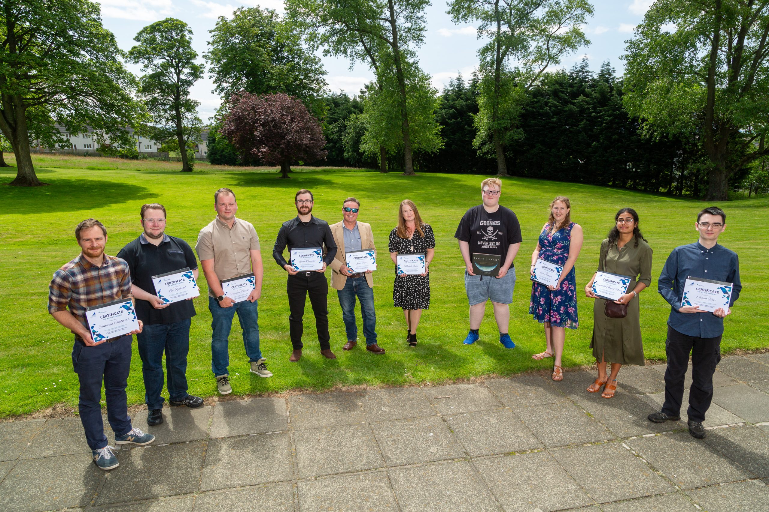
The decision wasn’t without challenges. As part of the first intake of students, Lisa and her classmates helped shape the course itself. She threw herself into both classroom learning and self-study, completing extra Esri and QGIS training in her own time. She particularly enjoyed the environmental science modules, which connected GIS skills to pressing issues like climate change, and Project Seagrass, where Lisa got involved with the local Restoration Forth sessions on seagrass and oysters.
For Lisa, one of the most valuable experiences came through her industry placement with Fife Council’s Planning Services Policy & Place team. Working under mentor Innes Robertson, she developed an interactive map model for the local development plan. “I had to get up to speed quickly with ArcGIS Pro and ModelBuilder,” she recalls. “It was daunting at first, but it gave me real confidence. I could see I was delivering something useful, something that mattered.”
Spatial Data Officer at Fife Council, Innes Robertson said, “it was great to have Lisa enthusiastically tackle the analytical challenge we had. With a template to start working with, she was able to come up with innovative geoprocessing flows to reach the conclusions we needed. I’m pleased that getting some real-world experience complemented the learning she was undertaking on the Geospatial Skills Foundation Course”
After completing the course, Lisa faced the same challenge many new entrants to the geospatial sector encounter: job adverts requesting degrees or years of experience. “It was really disheartening,” she says. “We kept being told there was a skills gap, but the entry-level were limited.”
That changed when a lecturer shared an internship opportunity with Idox Geospatial. “They weren’t asking for a degree or years of coding experience. It was genuinely entry-level, designed to give someone like me a start. When I interviewed, I immediately thought, this feels like a good place to work.”
Lisa began her placement, expecting just a short-term role. But when a colleague announced their departure, she was offered the chance to step into a full-time position. “It was probably more luck than anything, but also a real show of faith from Idox. Based on the work I’d done and my attitude, they believed I could do it. That meant a lot.”
Today, Lisa is thriving as a Data Engineer, overseeing local plans data, managing workflows with Idox’s data capture team in India, and taking on quality assurance and project management tasks. “It’s challenging, but I’m enjoying it. At the minute, I just want to focus on learning, developing, and enjoying my work.”
Looking back, she recognises how far she’s come. “I never would have thought I’d end up working for a software company. I used to think, ‘I don’t know anything about coding, that’s too hard.’ But sometimes you just have to take the leap. Opportunities come when you’re open to them.”
Her message to employers is clear: “If there’s a skills gap, create genuine entry-level jobs. There are people like me, mature students, career changers, ready to work hard and learn. We just need the chance.”
Data and Research Director at Idox Geospatial, Alan Moore commented, “The new Geospatial Foundation Skills Course at Fife College sparked my interest from the outset. I’ve always been keen to support students and those in their early careers as it’s really important we provide opportunities for the next generations of geospatial talent. Alan went on to say, “The Fife College course uniquely offers a further education route into geospatial. For the industry in Scotland the foundation skills in geospatial, coupled with practical experience and, in many cases previous work or business experience will make a big contribution to addressing skills gaps and providing a cohort of students ready to hit the ground running and enabling the ongoing rapid growth in our industry.”
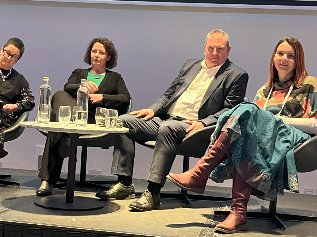
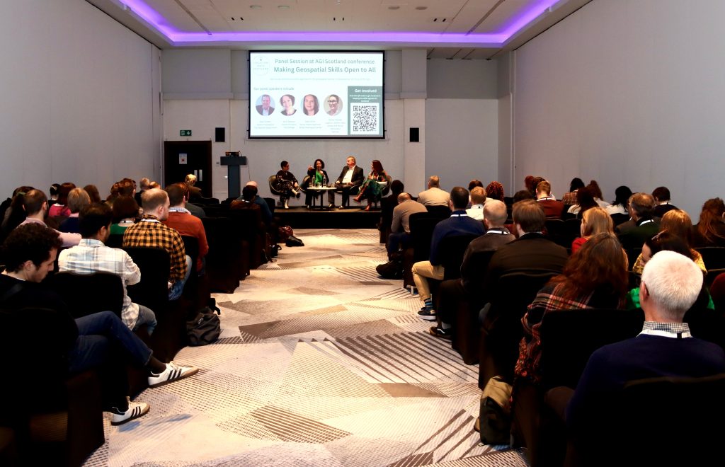
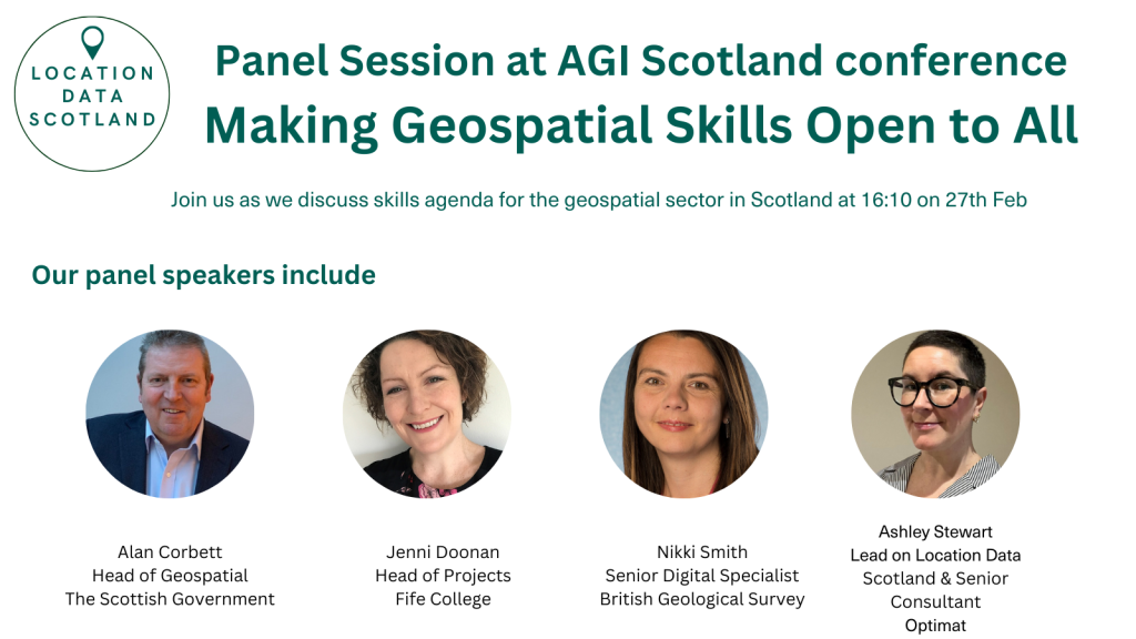
“As an industry, we must seize the opportunity that the Geospatial Foundation Skills Course brings to Scotland,” said Alan Corbett, Head of Geospatial at the Scottish Government. “Through the work of Location Data Scotland, in partnership with AIG Scotland and the University of Edinburgh, we’ve clearly identified a skills gap at entry level within the geospatial sector. It’s now up to both industry and the public sector to rethink their expectations and requirements for these roles, so we can attract and develop the right candidates for the future.”
Iain Hawker, Assistant Principal – Partnerships & Enterprise at Fife College, said: “We are proud that Fife College is leading the way as the first UK college to deliver a course of this kind. The Geospatial Foundation Skills course equips students with practical skills, industry experience, and the confidence to pursue careers in one of Scotland’s fastest-growing sectors. It also addresses the real skills gap employers face.
“Lisa’s journey demonstrates the real-world impact and life-changing opportunities this course can create, and we look forward to supporting many more students as they follow in her footsteps.
“The achievements of Lisa, and others on the course, would not have been possible without the support of our partners, including Location Data Scotland, the Scottish Government, AGI Scotland and the University of Edinburgh, whose expertise and collaboration have been instrumental in making the course such a success.”
For Lisa, that chance has turned into a brand-new career. From heritage sites to cutting-edge geospatial data, her journey shows the power of combining passion, retraining, and the courage to start again.
About Idox Group
The Idox Group builds enterprise grade software for government and industry, enabling the automation of tasks, simplification of processes and improved information management.
The Idox Geospatial division has over 100 people and is focused on the management and delivery of location-based data, software and services to help customers maximise the benefits from geospatial technology.
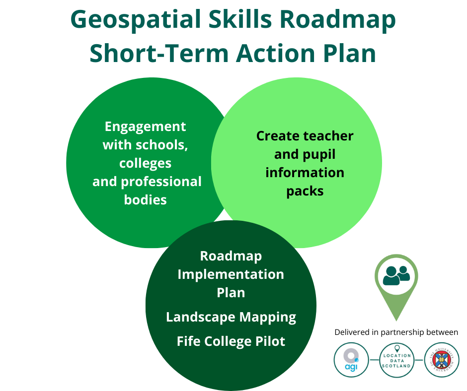
About the Geospatial Skills Foundation Programme
The Geospatial Skills Foundation programme, delivered by Fife College, the first of its kind in colleges in the UK, started in February 2025. It provides an 18-week introduction to GIS and Earth Observation, with each student undertaking a practical project with industry.
The course was recognised at the Association of Geographic Information (AGI) Awards earlier this year, winning the AGI Award for Geospatial Collaboration and Partnership at the prestigious national awards.
The course came into being as a collaboration between Fife College, Location Data Scotland (LDS) the Association for Geographic Information (AGI) in Scotland and the University of Edinburgh with support from the Scottish Government. Research undertaken by LDS and AGI Scotland identified a skills shortage, particularly in relation to technician-level roles and this course was developed as a response, ensuring Scotland continues to be a prime destination for geospatial business.
Watch the video interviews with Lisa and Alan below ⬇️