Menu Close

Mapping a New Future: From Fife College Graduate to Geospatial Data Engineer

Mapping a New Future: From Fife College Graduate to Geospatial Data Engineer

June 2025
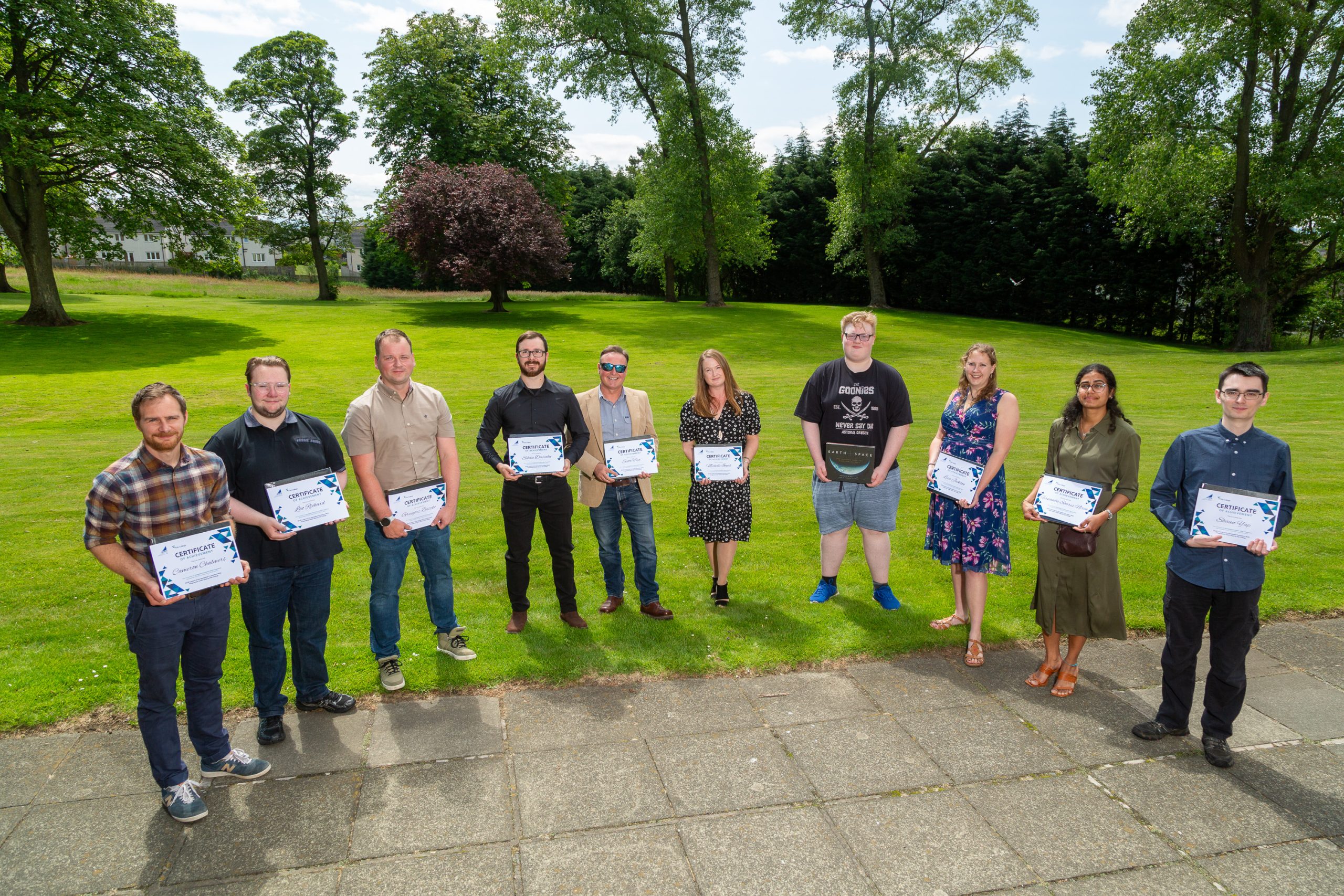
Lisa Jackson spoke to us about her journey into the world of geospatial and how important the education from the Geospatial Foundation Skills Programme was in helping to shape her career.

When Lisa Jackson walked into her new role as a Data Engineer with Idox Geospatial, it marked the culmination of an inspiring journey that combined heritage, education, and a leap of faith into an entirely new field.

Lisa, who lives in Fife and describes herself as a mature student in her mid-30s, spent more than a decade at Historic Scotland before making the switch. “I’d been there about 11 years, doing all sorts of different jobs,” she explains. “My first three roles involved GIS, though at the time I didn’t realise it was a career path in itself. I just knew I loved maps and data.”

Her early GIS work included logging planning applications, drawing polygons for casework officers, and helping run the dual designations project, which identified sites that were both listed buildings and scheduled monuments. That project sparked her curiosity about the analytical power of GIS: “It showed me how data could really help make smart decisions and improve processes.”

But despite her passion, career progression within the heritage directorate was limited. Lisa moved sideways into tourism and interpretation, and eventually into graphic design and learning roles. After several years, she admits, “I wasn’t enjoying what I was doing anymore. I felt stuck.”

It was her brother who nudged her toward change: “He said, why don’t you retrain? Look at where the opportunities are. Learn something new.” Almost serendipitously, an advert for the brand-new Geospatial Skills Foundation Course at Fife College appeared on Lisa’s Facebook feed.

“I thought, this sounds perfect. I love maps, I love analysis, and I like learning new things. So I took the leap, quit my job and put all my energy into the course.”

The decision wasn’t without challenges. As part of the first intake of students, Lisa and her classmates helped shape the course itself. She threw herself into both classroom learning and self-study, completing extra Esri and QGIS training in her own time. She particularly enjoyed the environmental science modules, which connected GIS skills to pressing issues like climate change, and Project Seagrass, where Lisa got involved with the local Restoration Forth sessions on seagrass and oysters.

For Lisa, one of the most valuable experiences came through her industry placement with Fife Council’s Planning Services Policy & Place team. Working under mentor Innes Robertson, she developed an interactive map model for the local development plan. “I had to get up to speed quickly with ArcGIS Pro and ModelBuilder,” she recalls. “It was daunting at first, but it gave me real confidence. I could see I was delivering something useful, something that mattered.”

Spatial Data Officer at Fife Council, Innes Robertson said, “it was great to have Lisa enthusiastically tackle the analytical challenge we had. With a template to start working with, she was able to come up with innovative geoprocessing flows to reach the conclusions we needed. I’m pleased that getting some real-world experience complemented the learning she was undertaking on the Geospatial Skills Foundation Course”

After completing the course, Lisa faced the same challenge many new entrants to the geospatial sector encounter: job adverts requesting degrees or years of experience. “It was really disheartening,” she says. “We kept being told there was a skills gap, but the entry-level were limited.”

That changed when a lecturer shared an internship opportunity with Idox Geospatial. “They weren’t asking for a degree or years of coding experience. It was genuinely entry-level, designed to give someone like me a start. When I interviewed, I immediately thought, this feels like a good place to work.”

Lisa began her placement, expecting just a short-term role. But when a colleague announced their departure, she was offered the chance to step into a full-time position. “It was probably more luck than anything, but also a real show of faith from Idox. Based on the work I’d done and my attitude, they believed I could do it. That meant a lot.”

Today, Lisa is thriving as a Data Engineer, overseeing local plans data, managing workflows with Idox’s data capture team in India, and taking on quality assurance and project management tasks. “It’s challenging, but I’m enjoying it. At the minute, I just want to focus on learning, developing, and enjoying my work.”

Looking back, she recognises how far she’s come. “I never would have thought I’d end up working for a software company. I used to think, ‘I don’t know anything about coding, that’s too hard.’ But sometimes you just have to take the leap. Opportunities come when you’re open to them.”

Her message to employers is clear: “If there’s a skills gap, create genuine entry-level jobs. There are people like me, mature students, career changers, ready to work hard and learn. We just need the chance.”

Data and Research Director at Idox Geospatial, Alan Moore commented, “The new Geospatial Foundation Skills Course at Fife College sparked my interest from the outset. I’ve always been keen to support students and those in their early careers as it’s really important we provide opportunities for the next generations of geospatial talent.  Alan went on to say, “The Fife College course uniquely offers a further education route into geospatial. For the industry in Scotland the foundation skills in geospatial, coupled with practical experience and, in many cases previous work or business experience will make a big contribution to addressing skills gaps and providing a cohort of students ready to hit the ground running and enabling the ongoing rapid growth in our industry.”


“As an industry, we must seize the opportunity that the Geospatial Foundation Skills Course brings to Scotland,” said Alan Corbett, Head of Geospatial at the Scottish Government. “Through the work of Location Data Scotland, in partnership with AIG Scotland and the University of Edinburgh, we’ve clearly identified a skills gap at entry level within the geospatial sector. It’s now up to both industry and the public sector to rethink their expectations and requirements for these roles, so we can attract and develop the right candidates for the future.”

Iain Hawker, Assistant Principal – Partnerships & Enterprise at Fife College, said: “We are proud that Fife College is leading the way as the first UK college to deliver a course of this kind. The Geospatial Foundation Skills course equips students with practical skills, industry experience, and the confidence to pursue careers in one of Scotland’s fastest-growing sectors. It also addresses the real skills gap employers face.

“Lisa’s journey demonstrates the real-world impact and life-changing opportunities this course can create, and we look forward to supporting many more students as they follow in her footsteps.

“The achievements of Lisa, and others on the course, would not have been possible without the support of our partners, including Location Data Scotland, the Scottish Government, AGI Scotland and the University of Edinburgh, whose expertise and collaboration have been instrumental in making the course such a success.”

For Lisa, that chance has turned into a brand-new career. From heritage sites to cutting-edge geospatial data, her journey shows the power of combining passion, retraining, and the courage to start again.

About Idox Group

The Idox Group builds enterprise grade software for government and industry, enabling the automation of tasks, simplification of processes and improved information management.

The Idox Geospatial division has over 100 people and is focused on the management and delivery of location-based data, software and services to help customers maximise the benefits from geospatial technology.

About the Geospatial Skills Foundation Programme

The Geospatial Skills Foundation programme, delivered by Fife College, the first of its kind in colleges in the UK, started in February 2025.  It provides an 18-week introduction to GIS and Earth Observation, with each student undertaking a practical project with industry.

The course was recognised at the Association of Geographic Information (AGI) Awards earlier this year, winning the AGI Award for Geospatial Collaboration and Partnership at the prestigious national awards.

The course came into being as a collaboration between Fife College, Location Data Scotland (LDS) the Association for Geographic Information (AGI) in Scotland and the University of Edinburgh with support from the Scottish Government. Research undertaken by LDS and AGI Scotland identified a skills shortage, particularly in relation to technician-level roles and this course was developed as a response, ensuring Scotland continues to be a prime destination for geospatial business.

Watch the video interviews with Lisa and Alan below ⬇️

Business Minister supports geospatial training at Fife College

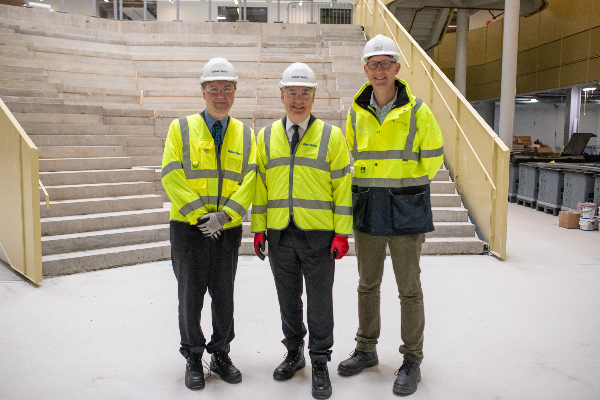
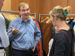
From left to right, Bruce Gittings, University of Edinburgh and Chair of AGI Scotland, Minister Lochhead, Business Minister for Scotland and Jim Metcalfe, Principal of Fife College

Business Minister supports geospatial training at Fife College

June 2025
Fife College's Geospatial Foundation Skills course plays a key role in reducing the skills shortage in Scotland's geospatial sector

Business Minister Richard Lochhead MSP visited Fife College recently to learn how the College has delivered the UK’s first geospatial qualification in a College.

The new Geospatial Foundation Skills course, which started in February 2025, provides an 18-week introduction to GIS and Earth Observation, emphasising core skills and with each student undertaking a practical project with industry. The course came into being as a collaboration between the College, the Association for Geographic Information (AGI) in Scotland, Location Data Scotland (LDS) and the University of Edinburgh with support from the Scottish Government’s Geographic Information Science and Analysis Team. Research undertaken by Location Data Scotland and AGI Scotland identified a skills shortage, particularly in relation to technician-level roles and this course was developed as a response, ensuring Scotland continues to be a prime destination for geospatial business.

The Minister was welcomed to the College’s new Dunfermline City Campus which will open later in the year; the future home of innovative programmes such as the Geospatial Foundation Programme.  The course will be credit rated this month as a recognised qualification on the Scottish Credit and Qualifications Framework at SCQF level 6.

In a recent LinkedIn post, Business Minister Richard Lochhead said:

“Our brilliant colleges are embracing Scotland’s innovation mission, and they must be at the heart of our ambition to become a leading innovation nation.  The sector’s growing focus on innovation is illustrated by the vision behind the spectacular new Fife College campus that will soon open and that I had the privilege of visiting.  There will be an innovation space in the new college but learners are already benefiting.

I was inspired to learn about the Geospatial Foundation Skills Course as part of the geospatial roadmap and the work withLocation Data Scotland with funding from UK Space Agency also involving Bayes Centre. The college’s programme is the first of its kind and so important for the skills pipeline for 21st century Scotland!”

Bruce Gittings, Chair of AGI Scotland and Senior Lecturer at the University of Edinburgh, said:

“This is a remarkable collaboration which will bring new talent into the geospatial workforce in Scotland, supporting existing organisations, allowing new businesses to develop and promoting inward investment.

The Scottish Government created Location Data Scotland to grow our geospatial sector, and this has been part of a significant work-package that will underpin future success.

This course is entirely complementary to what is offered at university-level and therefore brings greater diversity into our industry and the opportunity for progression. We have seen that it can attract school-leavers to this new course, as well as those with interesting backgrounds and experiences coming back into employment or seeking a career-change.

We are already exploring how AGI and LDS can develop their collaboration with Fife in the future.”

Jim Metcalfe, Principal of Fife College, said:

“We were delighted to welcome the Business Minister to our new Dunfermline City Campus and share the exciting work underway across a range of future-focused subject areas. Our programmes in fields such as geospatial technology are designed to meet the skills needs of Scotland’s economy – both now and in the future.

At Fife College, we are committed to being an accelerator for jobs and opportunity, aligning skills with economic demand, and this new campus is at the heart of that mission.”

Next Steps

If your organisation is interested in tapping into new geospatial talent and can offer work experience or employment to students graduating from Fife College this summer, please contact Lauren Miller (laurenmiller@fife.ac.uk) to get involved.

From Space to Climate Change geospatial data enables to see the see the world in a different way

From Space to Climate Change geospatial data enables to see the see the world in a different way

March 2024
Geospatial data is essential across many sectors from whale watching to local neighbourhoods.

Geospatial is an important element of any location.  It involves the collection, analysis, and interpretation of data linked to a geographic location such as

  • Maps and charts
  • Satellite imagery
  • GPS data
  • GIS data


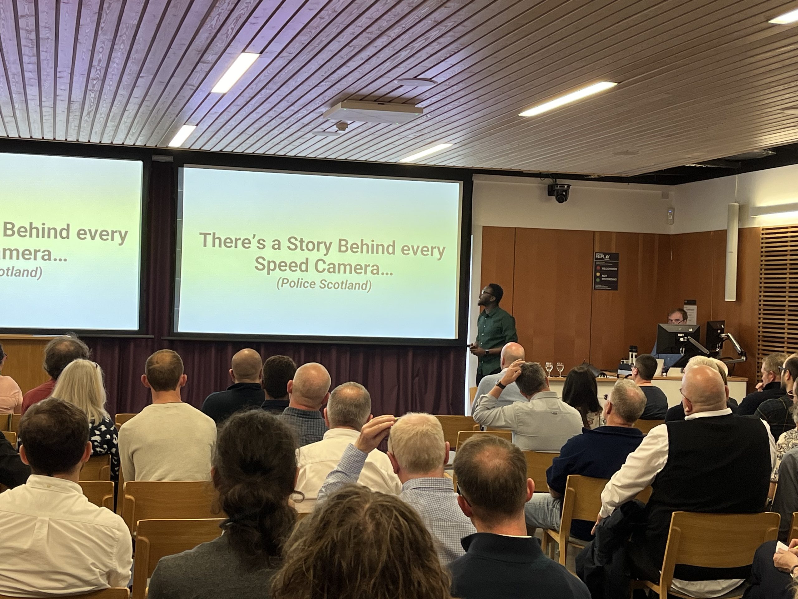
At the event, Geospatial Insights 2024; Innovations and Applications across Sectors held in the Edinburgh Climate Change Institute on Tuesday 27th August, hosted by Location Data Scotland in partnership with AGI Scotland, we heard from a wide range of speakers from various organisations about how geospatial data and technologies are being used in their organisations to deliver products and services.

Technology is evolving further and with applications such as AI and Machine Learning we can analyse locations even further.   Scotland’s strong research base, government support, industry partnerships, and expertise in geospatial technology have made it a thriving hub for satellite and space activities.

Alan Moore from Idox said, “Geospatial data is now being discussed in the Boardroom.  This emphasises the importance of this data source in supporting decision making and helps organisations regulate and monitor their environmental impact”.

The speakers explored the importance of geospatial data across a range of sectors from land management systems through to road safety, whale watching, climate change and local neighbourhoods.

This event was delivered as part of the Data Lab Community’s Geospatial Fringe series.

Steven Thomson, Events and Community Manager at the Data Lab said, “It has been fantastic to see the range and breadth of work going in Scotland and beyond within geospatial. Throughout the last month we’ve heard from organisations working to improve road safety, right through to environmentalism and climate change. The potential for geospatial data to improve where we live, and work is immense and is only going to get more exciting.”

Slides and case examples from the presentations can be viewed below

Make sure your organisation benefits from being part of the geospatial community in Scotland by joining our Directory.  Sign up here.


How do we plug the geospatial skills gap in Scotland?

How do we plug the geospatial skills gap in Scotland?

March 2024
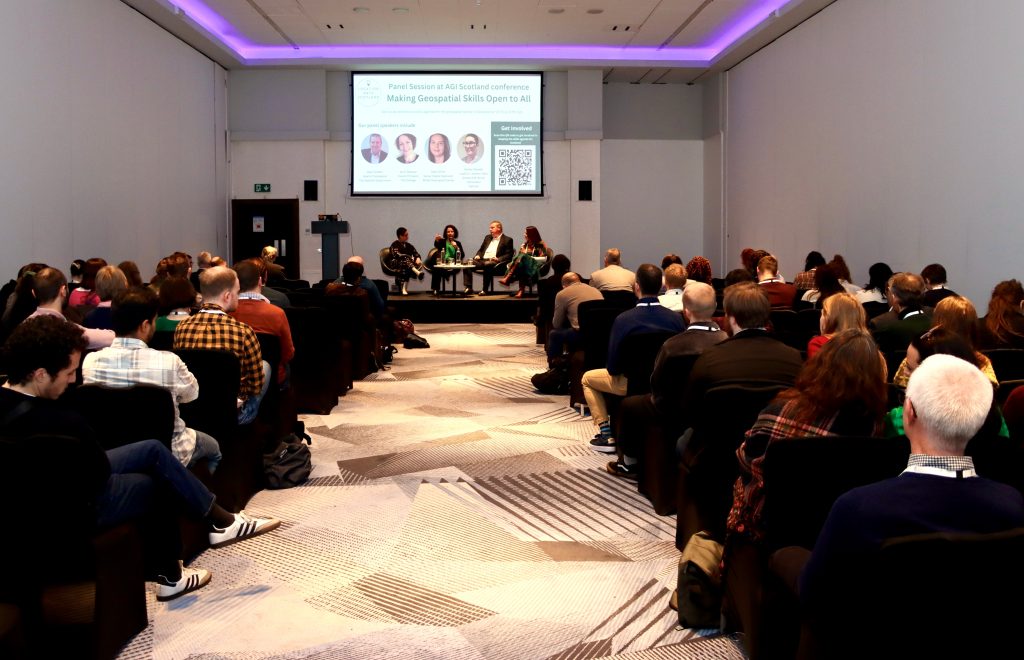
Location Data Scotland hosted a fruitful conversation at the AGI Scotland conference on 27th Feb 2024.

A diverse audience of industry, public sector, academia and students met to discuss strategies to tackle the skills gaps across the sector in Scotland at the recent AGI Conference. While Scotland has the highest rate of geospatial jobs in the UK, the demand is primarily concentrated in major cities like Edinburgh and Glasgow. Skills gaps are clear. Individuals keeping up with rapid advancements in technology areas like remote sensing, Geographic Information Systems (GIS), and data management can be challenging and extracting meaningful insights from geospatial data requires strong analytical and data visualisation skills.

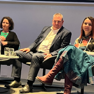
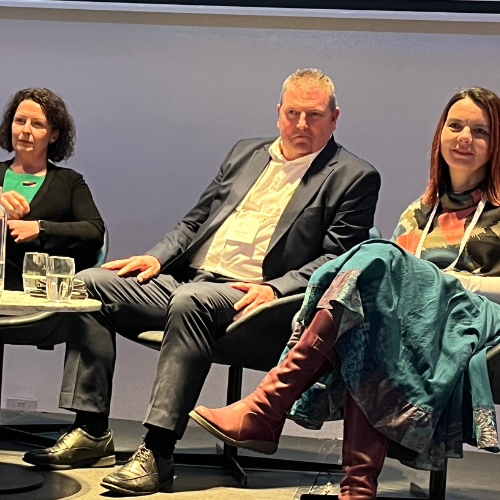
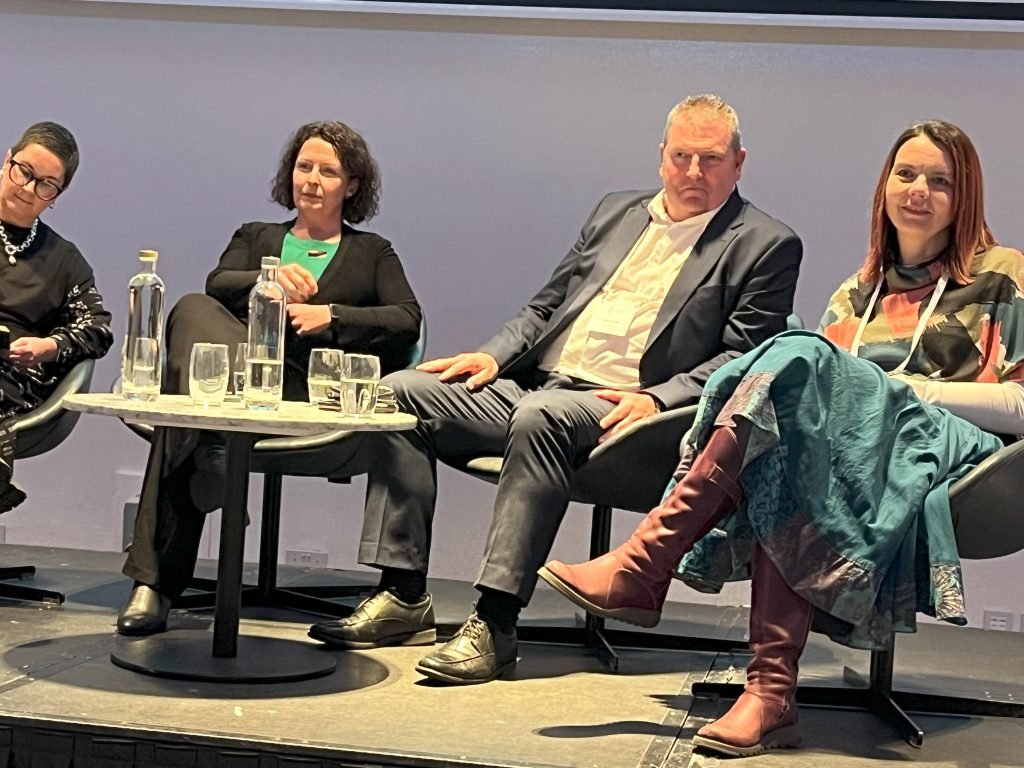
Skills Panel at the AGI Conference
From left to right, Ashley Stewart, Lead on Location Data Scotland, Jenni Doonan, Fife College, Alan Corbett, Scottish Government and Nikki Smith, British Geological Survey.

There are also gaps across different industries like environmental management, urban planning, and transportation, which have specific applications for geospatial technologies. Understanding these nuances and creating a range of blended skills to the chosen field and individual industry sectors is crucial.

As a nation, there is limited geospatial training/skills pathways available, currently study is only available at MSc level. And whilst most people ‘fall into geospatial’ as a career rather than choosing it as a path the lack of pathways causes recruitment challenges for the sector. The problem lies at the lower end of the education ladder – schools, colleges and community projects involving young people (Scouts, Youth Clubs etc) and to attract young people into the industry and choose geospatial as a career path, they need to have the knowledge much earlier in the educational journey. Most school aged children have played Pokemon Go but what they don’t realise is that the technology powering that game is geospatial and it opens up a full spectrum of exciting skilled jobs and opportunities. A huge knowledge gap also lies with parents who don’t see geospatial as a career path for their children. Education needs to be given to parents, with clear examples of the power of this technology across different sectors such as financial services, agriculture, space and tourism.

Geomatics Manager at Shell, Rob Dunfey said:

“I am very supportive of initiatives to build geospatial skills. Obviously, there is value for employers such as Shell in being able to recruit geospatial professionals, but more importantly for broader society and the economy. I truly believe that geospatial skills are going to underpin our energy transition to net zero.”

Skills Panel Session at AGI Conference hosted by Location Data Scotland
Picture courtesy of Cameron Easton on behalf of AGI Scotland

Location Data Scotland working in partnership with University of Edinburgh and AGI Scotland are calling for industry to help close the skills gaps. More information is needed from industry to define the essential future skills for the geospatial industry at all levels within their organisations, not just individuals at MSc level.

We need your help. Please get involved in the programme so we can help influence future generations to consider geospatial as a career path. If you would like to be part of this movement, register your details here and we’ll be in touch with next steps.

Register Now

LDS to host skills panel at the AGI conference

LDS to host skills panel at the AGI conference

February 2024

Developing the skills agenda for the geospatial sector in Scotland is critical to ensuring a pipeline of skilled talent is available to expand the economy and grow the sector. Scotland is currently limited to courses at MSc level; thus, impacting the breadth and diversity of individuals training and coming into the sector.

By bringing together leaders from industry, and academia LDS, in partnership with University of Edinburgh and AGI Scotland, has been working over the last 2 years to identify the skills gaps in geospatial across Scotland and has created a unified skills roadmap for the future. Our ambition is to create more jobs using geospatial skills and make Scottish talent more marketable to industry, attracting more companies to set up in Scotland as there will be a cluster of skilled talent, and a dedicated pipeline of highly skilled personnel to support emerging industry requirements. The work on developing the skills roadmap has resulted in a first-of-its-kind pilot programme being initiated with Fife College to develop and test a dedicated geospatial skills course as an introduction into the Geospatial industry.

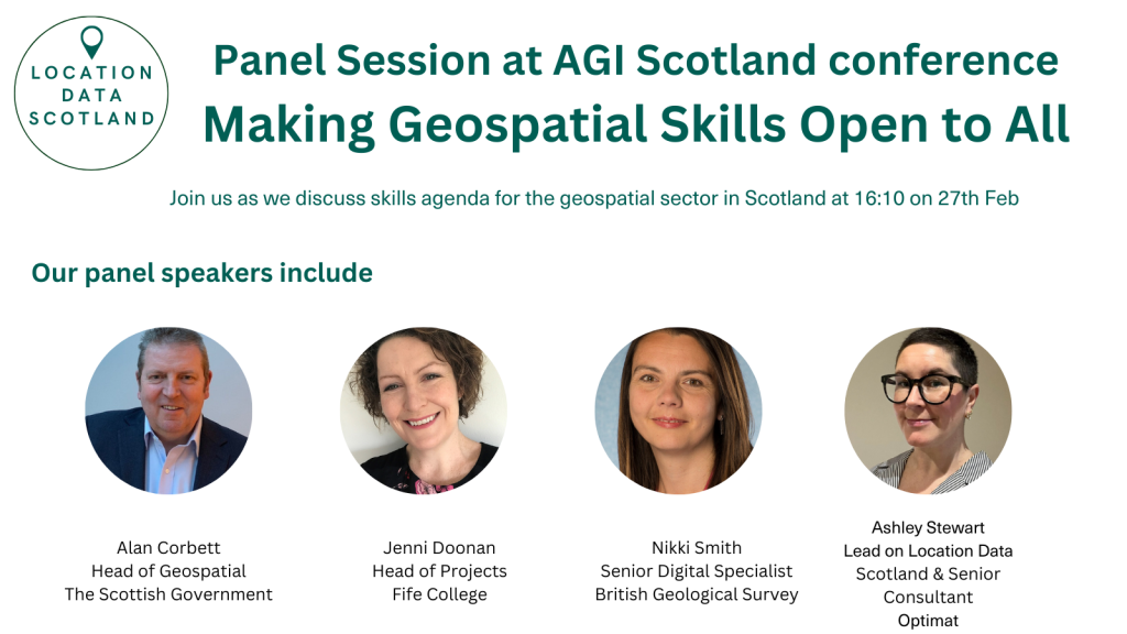
We are delighted to be hosting a panel at the AGI Scotland conference on 27th February 2024 in Glasgow, bringing together key individuals from across the sector to build on the work already done and explore where we go from here.

Alan Corbett, Head of Geospatial at The Scottish Government

Alan heads up the Scottish Government’s Geographic Information Science and Analysis Team (GI-SAT) within the Digital Directorate. Alan has worked in the Scottish Government’s Geographic Information Service (then SEGIS) since 1998 when the geographic information was first introduced within Government. He has been instrumental in promoting the use of GIS within Government and the Scottish Public sector and is delighted to see how GIS mapping and analysis has developed into an integral part of the decision making process for policy directorates and senior Ministers within the Scottish Government.

Alan’s primary responsibility is giving advice to both internal and external stakeholder on how GI data, systems and analytical processes support strategic decision making across all Scottish Government Directorates and its partner organisations with projects such as the National Resilience and recently the Government Covid Response. He is also responsible for substantive projects or initiatives within the Scottish Government such as the collaboration and procurement of geospatial data for the Scottish Public Sector. Leading on the Public Sector Geospatial Agreement (PSGA) for Scotland, Alan’s role is to ensure it delivers strategic direction, robust timely data and value for money to support all Scottish Public Sector organisations in the delivery of their statutory requirements.

Jenni Doonan, Head of Projects, Faculty of Engineering & Technology, Fife College

Jenni had a 15 year career working in engineering in the European Space Industry before moving into education. She has spent time working at the University of Edinburgh on the Data Education for Schools project as part of the Edinburgh and South East Scotland City Deal before moving to Fife College as Head of Projects in the Faculty of Engineering & Technology. She is responsible for developing innovation projects which give the college the capability and capacity to provide education in new and emerging skills areas.

Nikki Smith, Senior Digital Specialist, British Geological Survey

Nikki is a Senior Digital Specialist within the International division of BGS and has a focus on the design, development and implementation of custom spatial data capture and delivery systems, as well as the design and implementation of digital workflows. Nikki also works extensively with international geological surveys as they aim to increase the use and delivery of their geospatial data, and her work has taken her from Europe to Africa to Central and SE Asia. In addition, Nikki is the Vice-Chair for the Association for Geographic Information – Scotland committee.

Ashley Stewart, Senior Consultant for Optimat and Lead for Location Data Scotland

Ashley co-ordinates and manages Location Data Scotland, on behalf of Scottish Government, to transform services and create new products using geospatial technologies and/or location data in Scotland.

She specialises in data, digital and emerging technologies. Ashley is experienced in techno-market/demand analysis, technology roadmap development, strategy and commercialisation support to private and public sector organisations. Ashely has a BA (hons) Marketing, an MSc IT with Web Development and a PhD in Technology Enhanced Learning and Communities of Practice.

Book your place for the AGI conference

Three years of exciting growth for Scotland

Three years of exciting growth for Scotland

March 2023
Scotland has the potential to be centre stage in the growing global geospatial industry.

There are some exciting things happening in this arena in Scotland! Location Data Scotland, working with our partners are focused on accelerating the growth of this nascent industry in Scotland, underpinning public services, helping protect our environment and delivering economic growth through the creation of new products and services using the power of location data. Now in our third year we are seeing our community grow, we’re having conversations with the key decision makers and we’re tackling the skills issue.

Ashley Stewart, Lead on Location Data Scotland talked to Business Insider magazine about how location data can help Scottish businesses to thrive. Read the interview here.

Call for Partners – Scottish Tourism Industry to Trial Geotourist’s Data Dashboard

Call for Partners – Scottish Tourism Industry to Trial Geotourist’s Data Dashboard

February 2023

Scottish Government fund ground-breaking Tourism Data initiative with University of Dundee expert in place branding and Geotourist Analytics.

Geotourist and Dr Keith Dinnie, from the University of Dundee, are undertaking a shared project to identify and assess Geotourist’s economic and social benefits to Scottish tourism – with a call to Scottish Destination Management Organisation and tourism-related organisations to take part. With 20 spaces on offer, each partner will have a Geotourist multimedia trail created – to showcase their destination or brand – with access to Geotourist’s data dashboard to assess and analyse the results. The project runs until May 2023, with results released in a paper authored by Dr Keith Dinnie, an industry report co-authored by Dr Keith Dinnie and Geotourist CEO, Shaon Talukder, and an online event for Scottish tourism industry stakeholders.

Building on existing links between Geotourist and the Scottish tourism industry, the digital storytelling tours will be hosted on the Geotourist platform and generate data bespoke to each of the 20 project partners. Under the supervision of Dr Keith Dinnie, interviews will be conducted with the partners to assess the potential for Geotourist to deliver economic and social benefits to organisations and their destinations.

With significance on a global scale, this project will help Scottish tourism organisations to unlock data sets that have not been measured or previously accessed. The data generated by destinations’ own visitors removes the need for a third-party data provider or the general data pool to provide destination leaders with accessible, actionable insights that reveal which activities are delivering real visitors in and which are losing organisations money. The goal is to help destinations accelerate their economic growth by using data to focus on the activities that their visitors would travel for.

Shaon Talukder, CEO, of Geotourist said:

“We’re thrilled to be working with Dr Keith Dinnie of the University of Dundee to help destination management organisations and other tourism stakeholders across Scotland understand how Geotourist-generated data can support their economic activities and drive visitor engagement. We’re hugely committed to the visitor economy in Scotland and are looking forward to bringing more destinations on board during this research project.”

If you’d like to take part, please contact partnerships@geotourist.com.

A widening GIS skills gap in Scotland

A widening GIS skills gap in Scotland

November 2022
A recent round table hosted by Location Data Scotland, in conjunction with AGI-Scotland and the University of Edinburgh, saw a meeting of minds between industry, Government, academia, and research to consider the geospatial skills gap in Scotland.

Geography is viewed as a social science within the Scottish curriculum; however, this currently downplays the element of GIS and its importance as a source of employment. The ability to link geography with computing science in schools to help put geospatial on the map! Qualifications also need to be considered at all levels – SQA, college and university.

Schools, colleges, and universities are promoting data science as a key career path for students. Huge opportunities are opening up across the world and salaries in this area are leading the charge, however GIS analysis is not considered under the umbrella of data science. If it is to be taken seriously as a career path, awareness raising is required to showcase the opportunities and consideration must be given as to where it is introduced – school or college or university courses – apprenticeships – jobs?

There is a need in geospatial sector to develop a campaign similar to the one launched a few years ago in the Construction sector – GoConstruct – an online resource for anyone looking for a career in the construction and built environment sector. A campaign like this will significantly increase the awareness of geospatial and ultimately the skills base for geospatial in Scotland.

Bruce Gittings, Chair of AGI-Scotland said “We want to put Scotland at the centre of an international geospatial stage so we can attract technology entrepreneurs, promote start-ups and bring research to this country. To do this we need a diverse base of skilled professionals, building on Scotland’s geospatial heritage and a growing data science sector. While our universities lead the world in aspects of this GIS and remote sensing, we need to expose students in schools and colleges to the benefits and potential of this technology, as well as ensuring we have appropriate professional development opportunities for those at all career stages. Having access to industry networks such as Location Data Scotland and AGI Scotland is essential to help address this skill challenge and identify appropriate solutions.”

Have your Say!

A survey was launched in May 2022 and a series of roundtables are underway to consider the findings and discussion a shared vision for tackling the challenges. If you want to join a roundtable, contact ashley.stewart@optimat.co.uk