Geospatial Demystified
Abigail Page, Head of Innovation and Skills at the Geospatial Commission describes what is meant by the ‘buzz word’ geospatial and where it is having impact in our everyday lives.
Firstly, geospatial data is a representation of the world around us in a digital form. That is the ability to represent those through data which can be captured in many different ways – from ground surveys, to images from space or sensors tracking our journeys. Bringing different sources and information together and being able to visualise it by its location enables us to understand and model it in new ways.
Secondly, being able to apply geospatial technology and data can enable integration and interrogation of information to create an understanding that is valuable for society. Tobler’s first law of geography states that “”everything is related to everything else, but near things are more related than distant things.” Understanding location is fundamental to being able to identify relationships and patterns in many types of data.
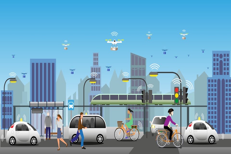
What inspires me most about geospatial is its ability to be deployed and have impact from local to global levels. For example, at an individual level ensuring my takeaway turns up or reminding me where I parked the car. For neighbourhoods forming the basis of local public services, such as city planning, school catchments or refuse collections. And at a global level addressing the most challenging of global issues, such as the recovery from a global pandemic or achieving net zero emissions.
I’m proud to have been part of developing the UK Geospatial Strategy, which sets out how we can unlock the value of location data, outlining nine key opportunity areas alongside helping to shape the Location Data Scotland programme. Geospatial Commission initiatives, such as the £5 million Transport Location Data Competition, are connecting geospatial innovators with public sector partners to fund new transport solutions and the National Underground Asset Programme will improve the way that national infrastructure is planned, built and managed.
In Scotland there is a vibrant geospatial community but also many opportunities and challenges where geospatial can be applied. Through Location Data Scotland there is a real opportunity to demystify geospatial and reach beyond specialists. It is time to move beyond worrying about terminology, and work to unlock value through innovation and partnerships.