
CASE STUDIES
LDS Case Studies
Space Aye are merging Internet of Things (IoT) data with real-time satellite imagery to create a global view of the world.
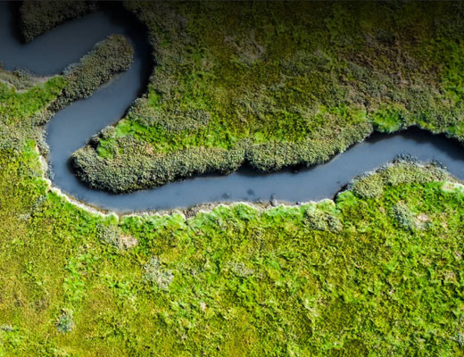
Eolas Insight are transforming how data is utilised in the environmental and ecological sectors to improve nature in light of the climate crisis.
Topolytics, a data aggregation and analytics company, are making the world’s waste visible, verifiable and valuable through their Waste Map product.
Electrek Explorer is an eco-mapping web app that puts all the information required for an Electric adventure-trip in one place. It enables users to explore using EVs and E-bikes, opening new horizons for sustainable travel.
Tech entrepreneur Arun Gopinath has a vision of the future with a fully joined up inclusive ecosystem for autonomous vehicles and services and is positioning his company Vahanomy at the heart of that ecosystem.
Industry Case Studies

EDINA’s Geospatial Services at the University of Edinburgh offer geospatial consultancy – from simple maps to advanced spatial analysis, providing visualised data through to developing and managing geospatial applications.
EDINA worked with start-up Continuum Industries to provide them with a customised geospatial database, to use for modelling a digital twin blueprint for transportation systems such as railways and hyperloops.
Read their story here

EDINA’s Geospatial Services at the University of Edinburgh offer geospatial consultancy – from simple maps to advanced spatial analysis, providing visualised data through to developing and managing geospatial applications.
Working with the University of Edinburgh’s Social Responsibility and Sustainability team and the Estates department EDINA helped to improve the student experience by providing greater knowledge of the natural environment around the University of Edinburgh campus and improving access to it.
Read their story here
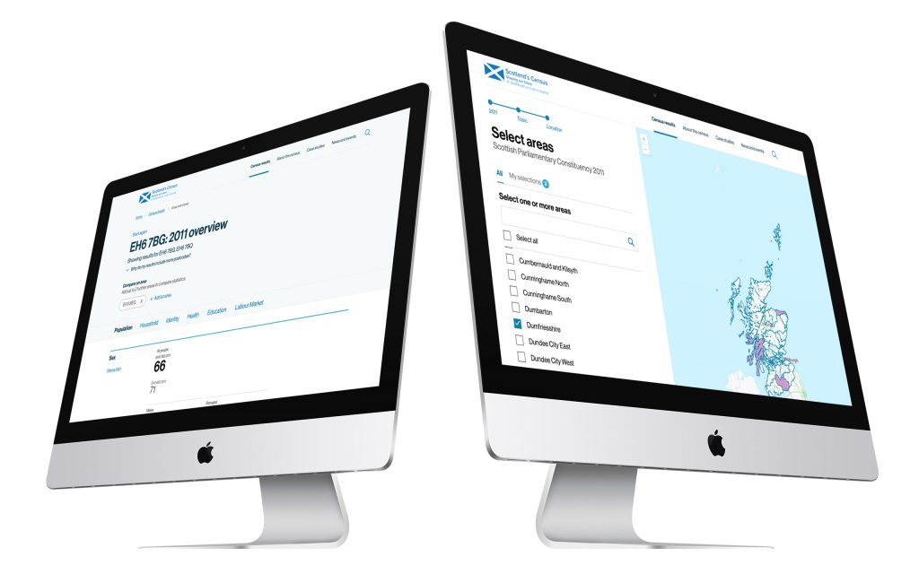
National Records of Scotland (NRS) is responsible for Scotland’s Census which takes place every 10 years. NRS worked with Storm ID to develop the Census Results Data Explorer, giving users the ability to explore detailed census data for a wide range of topics and locations from the 2001 and 2011 census including through maps and location data.
Find out more here.
thinkWhere is a Scottish based software company providing an online GIS for managing map-based asset information and associated data. They worked with Buccleuch Estates to manage their assets and estates across the UK.
Read their case story here.

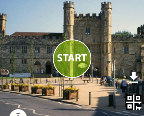
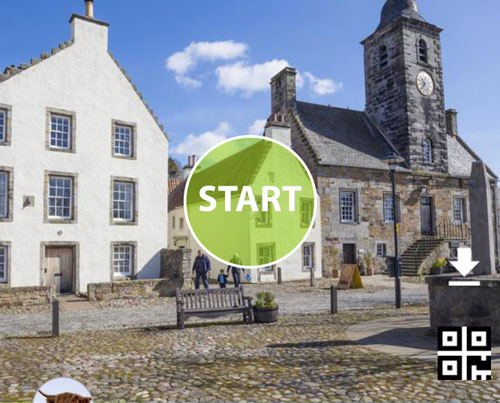
Geotourist provide multilingual activated tours and have developed a Caribbean tour of Antigua and Barbuda to help navigate cruise ship passengers from the docks and beach areas to the rich heritage in-land and across the island.
Find out how they did it here
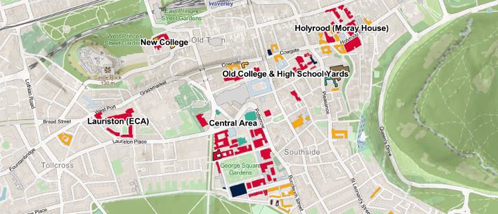
EDINA’s Geospatial Services at the University of Edinburgh offer geospatial consultancy – from simple maps to advanced spatial analysis, providing visualised data through to developing and managing geospatial applications.
EDINA worked with the University of Edinburgh Estates Transport department, with funding from Paths for All, to develop a new interactive map of the University campus with an emphasis upon sustainable transport, to help students and staff easily and sustainably travel across the campus and the city.
Read their story here
Geotourist provide multilingual tours and have worked with 1066 umbrella organisations to create and promote the concept of Second London.
Find out how they did it here

Topolytics worked with global software giant SAP and its customers to process data on commercial waste and packaging and analyse its path through the waste system. The resulting insights from Topolytics’ WasteMap platform can enable more resource recovery and reduce environmental impact.
Read the case study here
thinkWhere is a Scottish based software company providing an online GIS for managing map-based asset information and associated data. For the construction of the Aberdeen Western Peripheral Route, Balfour Beatty needed a better way to keep field staff updated with the latest data about sensitive and protected environmental sites in the path of construction.
Find out how they did it here

thinkWhere is a Scottish based software company providing an online GIS for managing map-based asset information and associated data. They worked with Conveyancing search and land reference services provider Millar and Bryce to manage the geospatial data for its land referencing work.
Read their case study here
EDINA’s Geospatial Services at the University of Edinburgh offer geospatial consultancy – from simple maps to advanced spatial analysis, providing visualised data through to developing and managing geospatial applications.
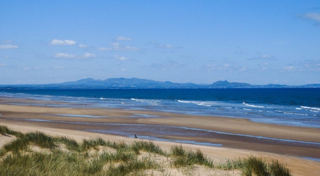
EDINA are working with East Lothian Council and Visit East Lothian team to devise a real time solution to monitor and manage peak visitor demand at East Lothian beach car parks, with a mobile app to direct visitors to less busy beaches and other tourism sites in the area.
Read their story here
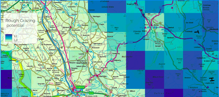
EDINA’s Geospatial Services at the University of Edinburgh offer geospatial consultancy – from simple maps to advanced spatial analysis, providing visualised data through to developing and managing geospatial applications.
Having supplied the academic sector with agricultural census data for over 20 years, EDINA adapted their agCensus service to meet a growing demand from the private and public sector for agricultural data for the whole of the UK
Read their story here
Geotourist provide multilingual tours and have developed an audio guide in partnership with Visit Scotland to allow fans to visit the Scottish sites used to film the famous Outlander.
Find out how they did it here

Following the devastation of Storm Arwen, an innovative geospatial mapping tool from Scottish Forestry is utilising earth observation data generated through Forest Research’s New citizen science app launched to identify areas of damage, assess the impact of the storm and to support the recovery of at least 4,000 hectares of woodland that has been affected by the storm.
Find out more here

thinkWhere is a Scottish based software company providing an online GIS for managing map-based asset information and associated data. thinkWhere provided Property Consultancy Galbraith with a a single, definitive, up-to-date source of Galbraith’s own in-house location data alongside digital mapping and third-party geospatial datasets.
Read their case study here